Плиний Старший, Естественная история 6.3-4 (Каппадокия и Понт):
CHAP. 3. (3.)—CAPPADOCIA.
Cappadocia44 has in the interior Archelais,45 a colony founded by Claudius Cæsar, and past which the river Halys flows; also the towns of Comana,46 watered by the Sarus, Neocæsarea,47by the Lycus,48 and Amasia,49 in the region of Gazacene, washed by the Iris. In Colopene it has Sebastia and Sebastopolis;50 these are insignificant places, but still equal in importance to those just mentioned. In its remaining districts there is Melita,51 founded by Semiramis, and not far from the Euphrates, Diocæsarea,52 Tyana,53 Castabala,54Magnopolis,55 Zela,56 and at the foot of Mount Argæus57Mazaca, now called Cæsarea.58 That part of Cappadocia which lies stretched out before the Greater Armenia is called Melitene, before Commagene Cataonia, before Phrygia Garsauritis, Sargarausene,59 and Cammanene, before Galatia Morimene, where their territories are divided by the river Cappadox,60 from which this people have taken their name; they were formerly known as the Leucosyri.61 From Neocæsarea above mentioned, the lesser Armenia is separated by the river Lycus. In the interior also there is the famous river Ceraunus,62 and on the coast beyond the town of Amisus, the town and river of Chadisia,63 and the town of Lycastum,64 after which the region of Themiseyra65 begins.
CHAP. 4.—THE REGION OF THEMISCYRA, AND THE NATIONS THEREIN.
The river Iris brings down to the sea the waters of the Lycus. In the interior is the city of Ziela,66 famous for the defeat of Triarius67 and the victory of C. Cæsar.68 Upon the coast there is the river Thermodon, which rises at the fortified place called Phanarœa,69 and flows past the foot of Mount Amazonius.70There was formerly a town of the same name as the river, and five others in all, Amazonium, Themiseyra, Sotira, Amasia, and Comana,71 now only a Manteium. (4.) We find here the nations of the Genetæ,72 the Chalybes,73 the town of Cotyorum,74 the nations of the Tibareni and the Mossyni, who make marks upon their bodies,75 the people called Macro- cephali,76 the town of Cerasus,77 the port of Chordule, the nations called the Bechires78 and the Buzeri, the river Melas,79 the people called the Macrones, and Sidene with its river Sidenus,80 by which the town of Polemonium81 is washed, at a distance from Amisus of one hundred and twenty miles. We next come to the rivers Iasonius82 on the site of the older city of Side, at the mouth of the Sidenus and Melanthius,83 and at a distance of eighty miles from Amisus, the town of Pharnacea,84 the fortress and river of Tripolis;85the fortress and river of Philocalia, the fortress of Liviopolis, but not upon a river, and at a distance of one hundred miles from Pharnacea, the free city of Trapezus,86 shut in by a mountain of vast size. Beyond this town is the nation of the Armenochalybes87 and the Greater Armenia, at a distance of thirty miles. On the coast, before Trapezus, flows the river Pyxites, and beyond it is the nation of the Sanni88 Heniochi. Next comes the river Absarus,89 with a fortress of the same name at its mouth, distant from Trapezus one hundred and forty miles.
44 The boundaries of Cappadocia varied under the dominion of the Persians, after the Macedonian conquest, and as a Roman province under the emperors.
45 Founded by Archelaüs, the last king of Cappadocia. In Hamilton's Researches, the site has been assumed to be the modern Ak-serai, but that place is not on the river Halys, as Leake supposes. It is, however, considered that Ak-serai agrees very well with the position of Archelais as laid down in the Itineraries, and that Pliny may have been misled in supposing that the stream on which it stood was the Halys.
46 Also called by the name of Chryse, or "Golden," to distinguish it from another place of the same name in Pontus. It is generally supposed that the town of Al-Bostan, on the Sihoon or Sarus, is on or near the site of this Comana.
47 Now called Niksar, according to D'Anville, though Hardouin says that it is Tocat. Parisot remarks, that this place belonged rather to Pontus than to Cappadocia.
48 A small tributary of the Iris, or Yeshil-Irmak, mentioned in the next Chapter.
49 Both to the west of Neo-Cæsarea. According to Tavernier, as quoted by Hardouin, the modern name of Sebastia is Sivas.
50 Still called Amasia, or Amasiyeh, and situate on the river Iris, or Yeshil Ermak. It was at one time the residence of the princes of Pontus, and the birth-place of the geographer Strabo. The remains of antiquity here are very considerable, and extremely interesting.
51 Which gave name to the district of Melitene, mentioned in c. 20 of the last Book.
52 Near Nazianzus, in Cappadocia, the birth-place of Gregory Nazianzen. The traveller Ainsworth, on his road from Ak Serai to Kara Hissar, came to a place called Kaisar Koi, and he has remarked that by its name and position it might be identified with Diocæsarea. Some geographers, indeed, look upon Diocæsarea and Nazianzus as the same place.
53 Its ruins are still to be seen at Kiz Hisar. It stood in the south of Cappadocia, at the northern foot of Mount Taurus. Tyana was the native place of Apollonius, the supposed worker of miracles, whom the enemies of Christianity have not scrupled to place on a par with Jesus Christ.
54 Some ruins, nineteen geographical miles from Ayas, are supposed to denote the site of ancient Castabala or Castabulum.
55 This place was first called Eupatoria, but not the same which Mithridates united with a part of Amisus. D'Anville supposes that the modern town of Tchenikeb occupies its site.
56 Or Ziela, now known as Zillah, not far south of Amasia. It was here that Julius Cæsar conquered Pharnaces, on the occasion on which he wrote his dispatch to Rome, "Veni, vidi, vici."
57 Still known by the name of Ardgeh-Dagh.
58 Its site is still called Kaisiriyeh. It was a city of the district Cilicia, in Cappadocia, at the base of the mountain Argæus. It was first called Mazaca, and after that, Eusebeia. There are considerable remains of the ancient city.
59 Hardouin remarks, that the district of Sargarausene was not situate in front of Phrygia, but lay between Morimene and Colopenene, in the vicinity of Pontus.
60 Now known as the Konax, a tributary of the Halys, rising in Mount Littarus, in the chain of Paryadres.
61 Or "White Syrians." Strabo says that in his time both the Cappadocian peoples, those situate above the Taurus and those on the Euxine, were called Leucosyri, or White Syrians, as there were some Syrians who were black, and who dwelt to the east of the Amanus.
62 It is doubtful whether this is the name of a river or a town. Notwithstanding its alleged celebrity, nothing is known of it.
63 Hecatæus, as quoted by Stephanus Byzantinus, speaks of Chadisia as a city of the Leucosyri, or Cappadocians. Neither the river nor the town appears to have been identified.
64 Probably on the river of that name, which has been identified with the Mers Imak, a river two or three miles east of the Acropolis of Amisus.
65 The extensive plain on the coast of Pontus, extending east of the river Iris, beyond the Thermodon, and celebrated as the country of the Amazons. At the mouth of the Thermodon was a city of the same name, which had been destroyed by the time of Augustus. It is doubtful whether the modern Thermeh occupies its site.
66 The same place apparently as is mentioned in the last Chapter under the name of Zela.
67 Valerius Triarius, one of the legates of Lucullus, in the war against Mithridates. Plutarch tells us that Lucullus was obliged to conceal Triarius from the fury of his troops.
68 Over Pharnaces, the son of Mithridates.
69 Now called the Thermea.
70 Still called Mason-Dagh.
71 He alludes to Comana, in Pontus, the site of which is now called Gumenek, near to which, on the Tocat-su, the modern name of the Iris, Hamilton found some remains of a Roman town, and part of a bridge apparently of Roman construction. The language of Pliny seems to imply that it had become in his day nothing beyond a manteium or seat of an oracle.
72 Strabo speaks of a promontory called Genetes; and Stephanus Byzantinus mentions a river and port of the same name.
73 Strabo places the Chaldei, who, he says, were originally called Chalybes, in that part of the country which lies above Pharnacia (the modern Kerasunt).
74 Or Cotyora. According to Xenophon, this was a colony of Sinope, which furnished supplies for the Ten Thousand in their retreat. The place was on a bay called after the town. Hamilton, in his Researches, &c., Vol. i., is of opinion that Cotyorum may have stood on the site of Ordou, where some remains of an ancient port, cut out of the solid rock, are still visible. He remarks, however, that some writers suppose that Cotvora was the modern bay of Pershembah, which is more sheltered than Ordou. Cotyora was the place of embarkation of the Ten Thousand.
75 Similar to what we call tatooing. Parisot suggests that these people may have been the ancestors of the Mongol tribes who still dwell in tents similar to those mentioned by Mela as used by the Mossyni.
76 Or the "long-headed people."
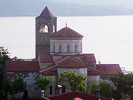
77 Its site is not improbably that of the modern Kheresoun, on the coast of Asia Minor, and west of Trebizond. Lucullus is said to have brought thence the first cherry-trees planted in Europe.
78 It has been remarked, that Pliny's enumeration of names often rather confuses than helps, and that it is difficult to say where he intends to place the Bechires. We may perhaps infer from Mela that they were west of Trapezus and east of the Thermodon.
79 Now the Kara Su, or Black River, still retaining its ancient appellation. It rises in Cappadocia, in the chain of Mount Argæus.
80 Still called by the same name, according to Parisot, though sometimes it is called the river of Vatisa. More recent authorities, however, call it Poleman Chai.
81 On the coast of Pontus, built by king Polémon, perhaps the Second,
82 Probably near the promontory of Jasonium, 130 stadia to the northeast of Polemonium. It was believed to have received its name from Jason the Argonaut having landed there. It still bears the name of Jasoon, though more commonly called Bona or Vona.
83 Sixty stadia, according to arrian, from the town of cotyora
84 Supposed to have stood on almost the same site as the modern Kheresoun or Kerasunda. It was built near, or, as some think, on the site of Cerasus.
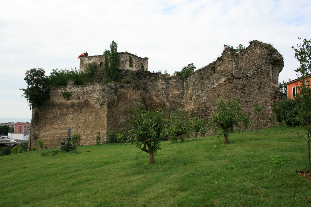
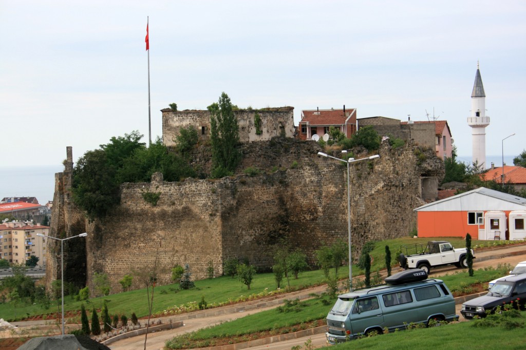
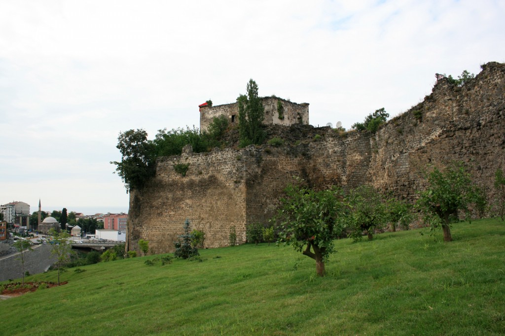
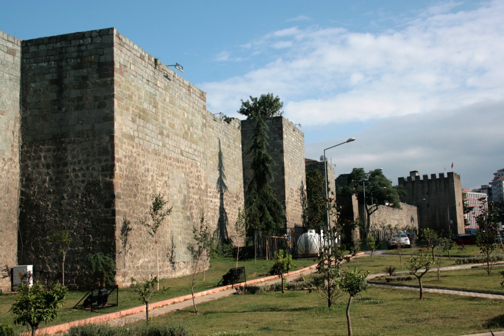
85 Still known by the name of Tireboli, on a river of the same name, the Tireboli Su.
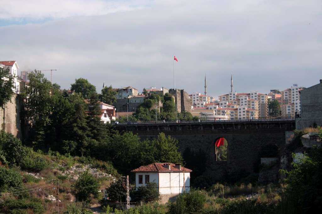
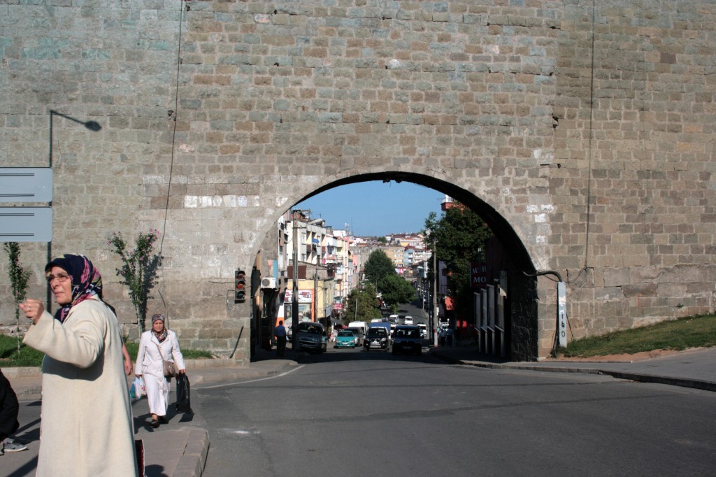
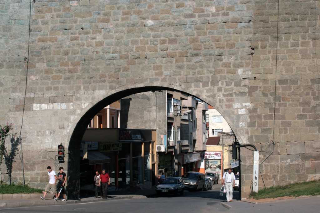
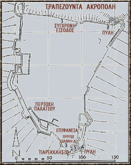
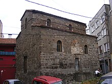
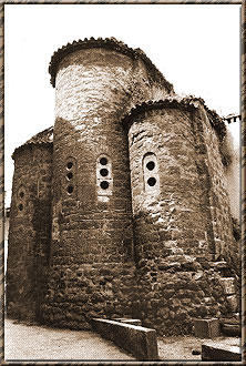
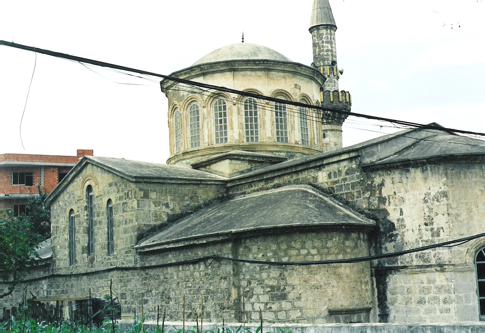
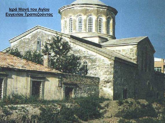
86 Now called Tarabosan, Trabezun, or Trebizond. This place was originally a colony of Sinope, after the loss of whose independence Trapezus belonged, first to Lesser Armenia, and afterwards to the kingdom of Pontus. In the middle ages it was the seat of the so-called empire of Trebizond. It is now the second commercial port of the Black Sea, ranking next after Odessa.
87 The "Chalybes of Armenia." See p. 21.
88 Theodoret says that the Sanni, and the Lazi, subsequently mentioned, although subdued by the Roman arms, were never obedient to the Roman laws. The Heniochi were probably of Grecian origin, as they were said to have been descended from the charioteers of the Argonauts, who had been wrecked upon these coasts.
89 Or Apsarus, or Absarum. Several geographers have placed the site of this town near the modern one known as Gonieh. Its name was connected with the myth of Medea and her brother Absyrtus. It is not improbable that the names Acampsis and Absarus have been given to the same river by different writers, and that they both apply to the modern Joruk.
http://www.perseus.t...:book=6&force=y
Плиний Старший, Естественная история 6.8:
CHAP. 8. (8.)—THE SITUATION OF CAPPADOCIA.
We have now gone over the coast which borders upon the Inner153 Sea, and have enumerated the various nations that dwell thereon; let us now turn to those vast tracts of land which lie further in the interior. I do not deny that in my description I shall differ very materially from the ancient writers, but still it is one that has been compiled with the most anxious research, from a full examination into the events which have transpired of late in these countries under the command of Domitius Corbulo,154 and from information received either from kings who have been sent thence to Rome, as suppliants for our mercy, or else the sons of kings who have visited us in the character of hostages.
We will begin then with the nation of the Cappadocians.
Of all the countries of Pontus, this155 extends the greatest distance into the interior.156 On the left157 it leaves behind the Lesser and the Greater Armenia, as well as Commagene, and on the right all the nations of the province of Asia which we have previously described. Spreading over numerous peoples, it rises rapidly in elevation in an easterly direction towards the range of Taurus. Then passing Lycaonia, Pisidia, and Cilicia, it advances above the district of Antiochia, the portion of it known as Cataonia extending as far as Cyrrhestica, which forms part of that district. The length of Asia158 here is twelve hundred and fifty miles, its breadth six hundred and forty.159
153 Or Mediterranean.
154 See Vol. i. p. 497.
155 He includes under the term "Cappadocia," the northern part originally called "Cappadocia ad Pontum," and in later times simply Pontus, and the southern part, originally called "Cappadocia ad Taurum," and more recently simply Cappadocia.
156 Running from the shores of the Euxine to the borders of Syria.
157 I. e. on the eastern side.
158 Meaning that part of Asia which we now call Asia Minor.
159 This ill agrees with what he has said in c. 2, that the distance across from Sinope to the Gulf of Issus is but 200 miles.
http://www.perseus.t...:book=6&force=y
Плиний Старший, Естественная история 6.8 (границы Каппадокии и Понта с Малой и Великой Армениями):
CHAP. 9. (9.)—THE LESSER AND THE GREATER ARMENIA.
Greater Armenia,160 beginning at the mountains known as the Paryadres,161 is separated, as we have already stated,162from Cappadocia by the river Euphrates, and, where that river turns off163 in its course, from Mesopotamia, by the no less famous river Tigris. Both of these rivers take their rise in Armenia, which also forms the commencement of Mesopotamia, a tract of country which lies between these streams; the intervening space between them being occupied by the Arabian Orei.164 It thus extends its frontier as far as Adiabene, at which point it is stopped short by a chain of mountains which takes a cross direction; whereupon the province extends in width to the left, crossing the course of the Araxes,165 as far as the river Cyrus;166 while in length it reaches as far as the Lesser Armenia,167 from which it is separated by the river Absarus, which flows into the Euxine, and by the mountains known as the Paryadres, in which the Absarus takes its rise.
160 Greater Armenia, now known as Erzeroum, Kars, Van, and Erivan, was bounded on the north-east and north by the river Cyrus, or Kur of the present day; on the north-west and west by the Moschian mountains, the prolongation of the chain of the Anti-Taurus, and the Euphrates, or Frat of the present day; and on the south and south-east by the mountains called Masius, Niphates, and Gordiæi (the prolongation of the Taurus), and the lower course of the Araxes. On the east the country comes to a point at the confluence of the Syrus and Araxes.
161 Now known as the Kara-bel-Dagh, or Kut-Tagh, a mountain chain running south-west and north-east from the east of Asia Minor into the centre of Armenia, and forming the chief connecting link between the Taurus and the mountains of Armenia.
162 In B. v. c. 20.
163 He means, where the river Euphrates runs the farthest to the west.
164 Littré suggests that the reading should be "Aroei."
165 The modern Eraskh or Aras.
166 The modern Kur.
167 This district was bounded on the east by the Euphrates, on the north and north-west by the mountains Scodises, Paryadres, and Anti-Taurus, and on the south by the Taurus.
http://www.perseus.t...:book=6&force=y
Римские монеты из каппадокийского города Севастии:
http://rpc.ashmus.ox...ebasteia_pontus
Севастия, откуда эти монеты, на карте Анатолии:
http://rpc.ashmus.ox...ebasteia_pontus


 Copyright © 2024 Your Company Name